call us on967 4109 679
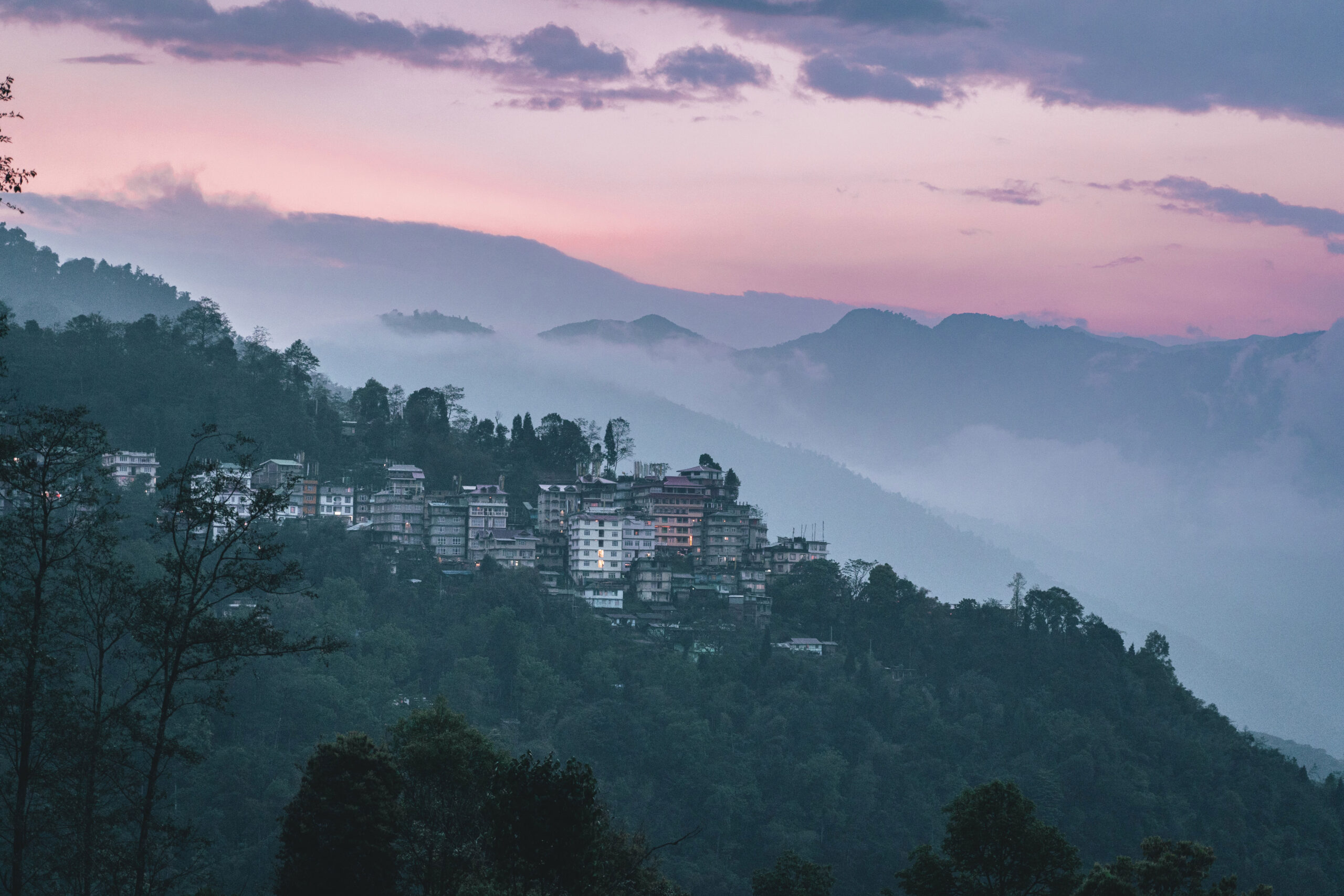
Andhra Pradesh is the fourth largest state in India in terms of area and fifth biggest in terms of population. Lying on the southeastern shorelines of India, Andhra Pradesh houses a number of top-rated tourist destinations that attract visitors from all corners of India. For its plethora of tourist wonders, it is dubbed as the “Kohinoor of India.” People come in big numbers to visit Vishakhapatnam, Hyderabad, Vijayawada, and Tirupati. The four principal regions that comprise Andhra Pradesh are the Southern Coast, Northern Coast, Telengana, and Rayalseema. The state has an extensive history and houses a host of Islamic mosques and Hindu temples.
The coordinates of Andhra Pradesh are 17.36° North latitude and 78.47° East longitude. The state of Andhra Pradesh (AP) shares its borders with Chhattisgarh, Maharashtra, and Orissa to the north, the Bay of Bengal to the east, Karnataka in the west, and Tamil Nadu in the south.
The state of Andhra houses a large number of pilgrimage hubs. The top-rated tourist destinations include the Tirumala Venkateswara Temple (Tirupati), Warangal, Nagarjuna Konda, Amaravati, Hyderabad, Vishakhapatnam, and Srisailam (home to one of the 12 Jyothirlingas in the country). The state features the most extensive shoreline in India, which stretches for 604 miles or 972 km. The Godavari and Krishna are two important rivers of the state that also draw considerable visitors. The state manifests a blend of Muslim traditions and Dravidian customs and legacy. The most popular tourist attractions in the state of Andhra Pradesh are as follows:
Read More....By Rail: Andhra Pradesh depends on railways since they are an important transportation medium for the state. Railways join all key towns and cities in the state. The head office of South Central Railways is based in Secunderabad. You can also use the East Coast Railway for visiting Vizag, Vizianagaram, and Srikakulam. One of the busiest Indian railway junctions is Vijayawada, and it is also the second biggest and busiest Asian railhead.
Read More....


FREE QUOTE in a minute
Have Any Question? We’ll be happy to answer.